FORT HOOD FREIGHT
Where Fort Hood Freight Moves
Fort Hood covers about 218,000 acres, more than 340 square miles, across Bell and Coryell counties. It opened as Camp Hood in 1942 and became Fort Hood in 1950. It was named Fort Cavazos from 2023 to 2025, and the Army restored the Fort Hood name in 2025.
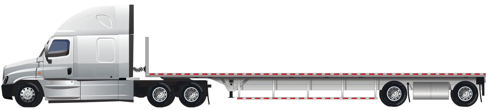
Most freight goes to three places. The main cantonment holds the motor pools, warehouses and the Rail Operations Center, which the Army calls its busiest railhead. West Fort Hood holds Robert Gray Army Airfield. Its 10,000 ft runway is shared with Killeen Regional Airport. Construction sites for barracks, motor pools and microgrids are spread across the post.
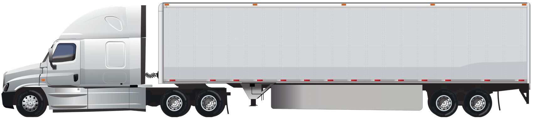
Every commercial truck enters through the North Clarke Road truck inspection gate, off the Clarke Road exit on westbound I-14. Drivers without a DoD ID get a pass at the Marvin Leath Visitor Center. Send us the building number and a point of contact, and we pass them to the driver.
I-14, which shares its route with US 190, follows the post's south edge. It heads east to I-35 at Belton and west through Copperas Cove to Lampasas. From the main gate, Austin is roughly 70 miles and Waco roughly 60. San Antonio is about 145 miles, Dallas about 155 and Houston about 195, and each is a same-day run.
Plan around work zones west of the post. TxDOT is widening about 7 miles of US 190 through Copperas Cove into four lanes, with work running into 2029.